


Trump Posts AI-Generated Map Showing U.S. Annexing All Of North America
Category: Politics
Share
Archive
Like
President Donald Trumpseemed to hint at the idea of basically taking over all of America's neighbors and turning them into U.S. states with another bizarre social media post.
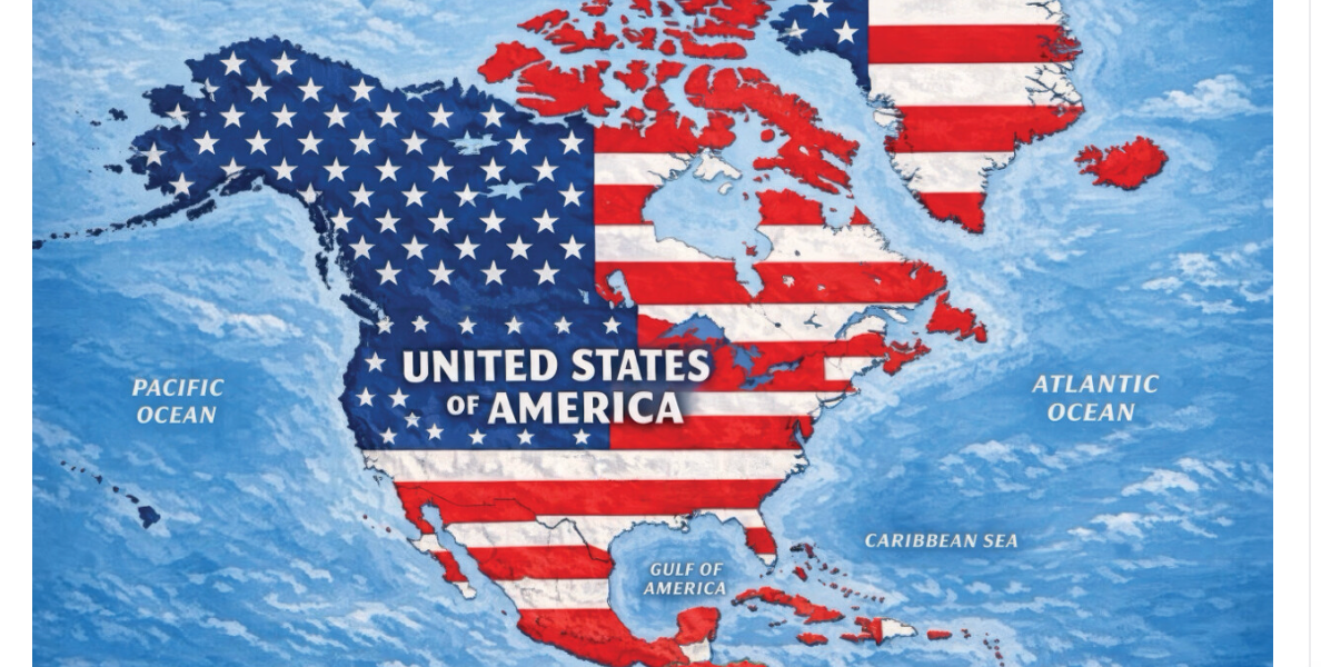
On Monday, the president posted an apparently AI-generated map on Truth Social showing all of North America — including Canada, Mexico, Cuba, Greenland and Iceland — all covered with the American flag's stars and stripes.
The map appears to be very similar to one Trump posted to Truth Social in January in a photo with French President Emmanuel Macron, British Prime Minister Keir Starmer, and European Commission President Ursula von der Leyen.
Newsweek said the photo appeared to be an edited version of a pic taken during an August 2025 meeting in Washington, D.C.
Trump has been trolling people with suggestions he might try to annex Greenland, CanadaandVenezuela. Considering this also comes after he renamed Lake Ontario'Lake America'and suggested via social media posts that New Mexico should be called 'New America,' people had thoughts.
Like this article? Keep independent journalism alive. Support HuffPost .
Read the original on HuffPost
A note on cookies
Newshunt uses essential cookies to keep you signed in and to remember your language and country, so the site works the way you expect. With your permission, we'd also like to use analytics cookies to understand how people use Newshunt and improve it over time.
Accepting only affects analytics. To learn more, view our Privacy Policy or Terms & Conditions.
(0)Comments