


New 120-Mile Cumbria Walking Route Opens This September: Your Ultimate Guide to the Westmorland and Furness Way
Category: Tourism
Share
Archive
Like
New 120-Mile Cumbria Walking Route Opens This September: Your Ultimate Guide to the Westmorland and Furness Way
Written By:
Poulomi Sinha
I am a passionate travel writer and digital content creator dedicated to bringing the past vividly to life for modern explorers. I specialize in cultural tourism and historical storytelling, creating engaging, well-researched content that blends education with compelling narratives. My deep fascination with history and heritage preservation has led me to actively participate in heritage workshops, where I have gained hands-on experience in architectural conservation and community-led cultural initiatives. As a writer for a prominent online travel magazine, I transform destinations into immersive stories, uncovering the hidden histories behind ancient landmarks and heritage sites while inspiring readers to explore their rich cultural significance. Poulomi Sinha
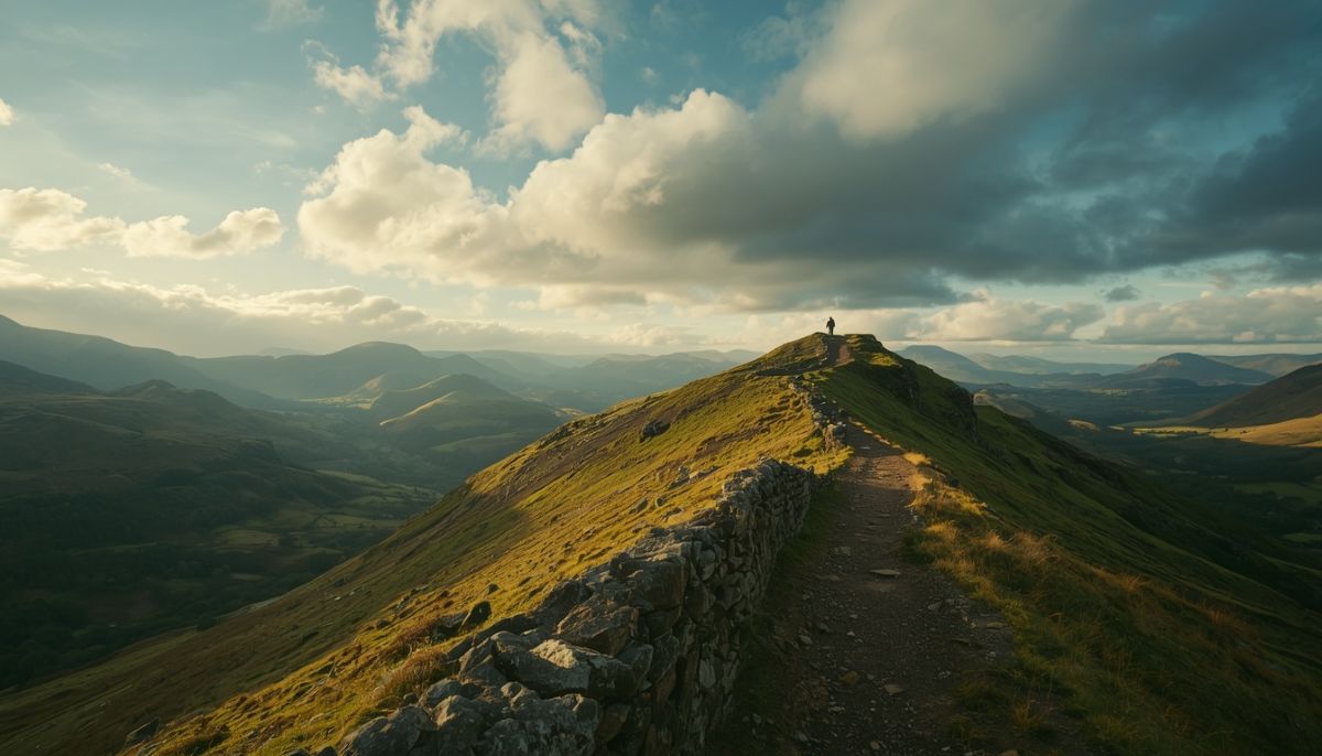
Image generated with Ai
The official opening of a major new trail is always a red-letter day for serious hikers and long-distance walkers. This September Cumbria and northern England are adding a remarkable new feature to their world-class network of footpaths. The Westmorland and Furness Way officially opens on September 15, offering an eclectic and eye-catching 193 km (120 mile) jaunt through some of the country's most famous scenery. The ambitious six-stage trail has been developed by Westmorland and Furness Council and connects the market town of Alston, at high altitude, to the ancient ruins of Furness Abbey in Cumbria. Thinking about a hiking holiday this autumn? Or simply seeking inspiration for adventures next season? This all-in-one guide has all the info you need to find your way along the new trail, get to grips with the terrain and soak up the cultural highlights along the way.
Understanding the Route: Key Details and Geography
The Westmorland and Furness Way has been carefully mapped out to utilize existing public rights of way and established trails wherever possible. Spanning 193 km, the route is divided into six manageable stages, designed to accommodate varying fitness levels when broken down day by day. The journey commences in Alston, recognized as England's highest market town, situated within the rugged expanses of the North Pennines National Landscape. From this elevated starting point, the trail guides participants westward and southward, ingeniously stitching together three of England's most treasured protected areas: the North Pennines National Landscape, the Yorkshire Dales National Park, and the Lake District National Park.
As the path progresses, the topography shifts dramatically from sweeping upland moorlands and limestone dales to tranquil lake vistas, eventually descending toward the coastal expanses of Morecambe Bay and the Furness peninsula. The grand finale brings weary travelers to the atmospheric, red-sandstone ruins of Furness Abbey, a 12th-century monastery steeped in mediaeval history. By connecting these distinct geographical regions, the route provides a continuous cross-section of northern England's natural and architectural heritage.
The Inaugural Launch and Festival Integration
The timing of the launch has been deliberately coordinated with the Sedbergh Walking and Wellbeing Festival, which runs from September 14 to September 20. Sedbergh, England's official Book Town located within the Yorkshire Dales, serves as a natural hub for the festival events and acts as a focal point for hikers participating in the opening week festivities. Guided walks, wellness workshops, and community events are scheduled throughout the week, offering an ideal environment for walkers who prefer a structured group experience during their inaugural trek along the new path.
Local authorities and tourism boards anticipate that the integration of the trail launch with an established festival will draw significant early attention from regional and international visitors alike. The Westmorland and Furness Council spearheaded the development of the route to encourage sustainable tourism, promote outdoor recreation, and distribute visitor traffic more evenly across both iconic national parks and lesser-known rural corridors.
Essential Planning Information for Hikers
Embarking on a 193 km long-distance trail requires meticulous preparation, particularly regarding terrain management, accommodation booking, and seasonal weather considerations. While the route relies primarily on pre-existing paths, walkers should anticipate a wide variety of ground conditions, ranging from well-maintained valley tracks and country lanes to rocky fell paths and exposed moorland stretches.
Frequently Asked Questions
How long does it take to walk the Westmorland and Furness Way? The trail is officially structured as a six-stage long-distance route. For most hikers carrying a full pack, completing the entire 120 miles takes between six and eight days, depending on daily pacing, weather conditions, and designated stops.
What is the best time of year to hike the route? While the trail opens in September, making it ideal for experiencing autumn foliage and cooler walking temperatures, the primary hiking season extends from May through October. Spring and early autumn typically offer the most stable weather and clear visibility across the high-altitude sections in the Pennines and the Lake District.
Are there luggage transfer services available along the trail? Given that the route passes through numerous established communities, rural service providers and local baggage-handling companies are expected to offer luggage-forwarding services. Walkers are advised to arrange these services in advance, particularly during peak festival periods when local accommodation fills quickly.
Navigating the Six Stages of the Trail
The secret to a successful trek along the Westmorland and Furness Way is to appreciate the unique character of each stage. While the Westmorland and Furness Council's official guidebooks provide detailed official stage breakdowns, the general route runs from the Pennine heights down through the Eden Valley and the fringes of the Yorkshire Dales, skirting the eastern and southern edges of the Lake District before concluding on the Furness coast.
Walkers will discover a vibrant mix of rural life, traditional dry-stone walls, ancient woodlands and panoramic viewpoints that have inspired poets, painters and travellers for centuries. You'll need good waterproof boots and layered clothing for sudden weather changes in the hills, good maps and a compass or GPS. Since sections of the route are in remote areas, it's important to be self-sufficient with water and food on longer stretches between villages.
This path's opening is a landmark for regional tourism, filling in the gaps between isolated protected areas into one long-distance pilgrimage. The Westmorland and Furness Way provides an unforgettable exploration of northern England's most spectacular landscapes, whether you tackle it in one continuous trip or over multiple seasons in weekend segments.
Advertisement
Share On:
Gtranslate
A note on cookies
Newshunt uses essential cookies to keep you signed in and to remember your language and country, so the site works the way you expect. With your permission, we'd also like to use analytics cookies to understand how people use Newshunt and improve it over time.
Accepting only affects analytics. To learn more, view our Privacy Policy or Terms & Conditions.
(0)Comments