


Hoh River Bridge Closures Force Four Hour Olympic Detour
Category: Tourism
Share
Archive
Like
Olympic Peninsula travelers face a major break in their coastal driving route when Washington closes the Hoh River Bridge on Highway 101 for repairs this September and October. In a September 4 notice, the National Park Service warns that alternate routes around the peninsula's east side will add at least four hours of driving during the closures.
The first overnight closure starts September 14, followed by three multiday shutdowns beginning September 24, October 1 and October 8. If your Olympic National Park itinerary combines the Hoh Rainforest or Forks with Kalaloch or Lake Quinault, check which side of the bridge your accommodation occupies before committing to that day's route. Location: US 101 at the Hoh River Bridge, south of Forks and the Hoh Rainforest.
US 101 at the Hoh River Bridge, south of Forks and the Hoh Rainforest. First restrictions: Overnight closures September 14 through September 22, from 10:30 p.m. to 5:30 a.m.
Overnight closures September 14 through September 22, from 10:30 p.m. to 5:30 a.m. First extended closure: September 24 at 5 a.m. through September 29 at 5 p.m.
September 24 at 5 a.m. through September 29 at 5 p.m. Detour: No local crossing; NPS says the east side route adds at least four hours.
No local crossing; NPS says the east side route adds at least four hours. After reopening: Expect single lane alternating traffic, not an immediate return to unrestricted travel. The Dates That Break a Coastal Loop
The National Park Service closure notice distinguishes overnight work from extended periods when the bridge remains shut throughout the day. That distinction matters for travelers who might otherwise assume an early departure or an afternoon crossing solves the problem.
Overnight closures run September 14 through September 22, with the stated nightly window from 10:30 p.m. until 5:30 a.m. Those restrictions affect late arrivals and predawn drives, so a reservation on the opposite side of the river can become a problem even before the first multiday shutdown.
The first continuous closure runs from 5 a.m. Thursday, September 24, until 5 p.m. Tuesday, September 29. The next runs from 5 a.m. Thursday, October 1, until noon Tuesday, October 6, followed by 5 a.m. Thursday, October 8, until noon Tuesday, October 13.
All times refer to local Washington time, and the Thursday starts mean these are not simply Saturday and Sunday restrictions. A long weekend itinerary that crosses the bridge on Friday or returns on Monday falls inside the published closure windows. Hoh Rainforest Is on the North Side
The bridge is south of both Forks and the Hoh Rainforest, an important detail for visitors who associate the river's name with the rainforest entrance. The closure does not, by itself, mean the Hoh Rainforest is closed or that travelers approaching from Port Angeles must cross the work site to reach it.
NPS lists Port Angeles, Hurricane Ridge, Elwha, Lake Crescent, Sol Duc, Ozette, Mora and the Hoh Rainforest on the north side. Kalaloch, Queets, Quinault, Amanda Park, Ocean Shores and Aberdeen are on the south side of the closure.
That geography gives travelers a workable way to preserve a trip: group activities and overnight stays on one side rather than building each day around crossing the river. It does not guarantee access to every individual park road or trail, which can have separate restrictions unrelated to this bridge project.
Before changing a booking, compare your planned stops with your actual lodging address using the guide to where to stay near Olympic National Park. A property marketed for the broader peninsula may still leave you on the wrong side of the closed crossing for the next morning's plans. The Detour Goes Around the Peninsula
There is no nearby road that bypasses the Hoh River crossing, according to NPS. Its warning of at least four additional driving hours refers to alternate routes along the east side of the Olympic Peninsula, not a short diversion onto a parallel coastal road.
For travel between the Hurricane Ridge or Lake Crescent area and Kalaloch, Ruby Beach or Lake Quinault, WSDOT's September 2 project notice identifies US 101 along Hood Canal, then State Route 108, State Route 8, US 12 and US 101. Check the complete route before departure rather than relying on the usual west coast segment of a saved itinerary.
The agencies describe travel time differently: WSDOT calls the Forks to Hoquiam detour a four hour trip, while NPS warns that alternative east side routes add at least four hours. Those figures are not interchangeable, and the added time for an individual journey depends on its starting point and destination.
For a traveler deciding whether to keep a lunch reservation, sunset beach stop or same evening flight connection, the practical consequence is the same: this is a major reroute. Do not treat the published reopening time as spare driving time you can safely spend elsewhere. Why the Bridge Cannot Keep One Lane Open
WSDOT says contractor Hamilton Construction will replace four floor beams at two joints underneath the bridge deck. Overnight work installs a work deck and containment system, while the longer closures provide access for the beam replacement itself.
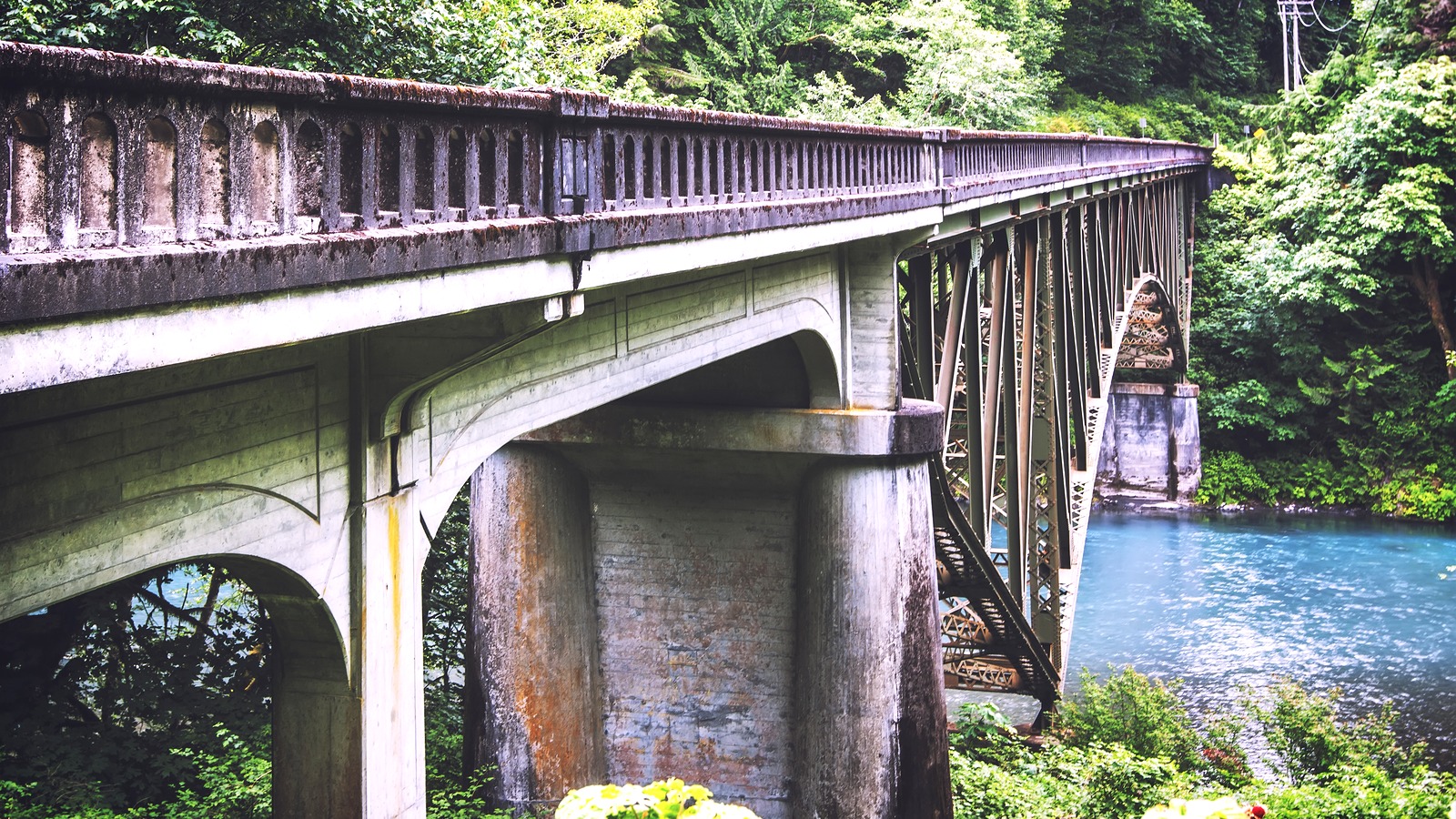
The 95 year old bridge is too narrow to maintain a traffic lane during that work, according to the agency. Inspectors found cracks in floor beams and supporting steel during the summer, prompting single lane alternating traffic and a 25 mph speed limit beginning July 14.
These are interim repairs intended to keep the crossing available until a more extensive permanent repair can restore its load capacity. The bridge will be inspected after each multiday closure before reopening to single lane alternating traffic, so completion of one work period does not mean all restrictions disappear.
WSDOT says emergency responders will have pedestrian access during the closures, but that provision is not available to the general public. Visitors should not plan to park on one side, walk across the work zone and arrange a ride from the other bank. Change the Itinerary Before Changing the Whole Trip
A closure does not automatically require canceling an Olympic Peninsula visit. The lower disruption option may be to keep a north side itinerary around Forks and Port Angeles, or a south side itinerary around Kalaloch and Quinault, depending on where you are already staying.
If crossing remains essential, map the east side drive against your accommodation's arrival requirements and any onward transport departure. Travelers with rental vehicles or RVs should assess the full detour and their own driving limits; there is no public local crossing exemption described in the notices.
Contact lodging or activity providers before changing prepaid arrangements, because the road notice itself does not establish refund rights or guarantee waived fees. Keep the distinction between a service that is unavailable and one that remains open but becomes harder for you to reach. If you… What to do Stay in Forks and visit the Hoh Rainforest Keep those stops together on the north side, while checking separate park alerts. Combine Lake Crescent with Kalaloch during a closure Allow for the east side reroute or move one visit to another day. Cross late at night September 14 through 22 Check the 10:30 p.m. to 5:30 a.m. closure window before departing. Plan to cross on a published reopening afternoon Confirm actual reopening first and expect alternating single lane traffic.
September 14 is the overnight access gate. Check late check-ins and early departures against the work window, especially when your bed and next destination are on different sides of the river.
September 24 is the first continuous closure gate. Complete your coastal crossing before the shutdown or arrange a same side itinerary; waiting until daytime will not reopen the bridge.
Each scheduled reopening is a verification gate. Consult WSDOT's current project information before driving toward the bridge, because inspection comes before traffic resumes and single lane restrictions continue.
The bridge closure is south of the Hoh Rainforest, which NPS places on the north side of the work zone. Check separate park alerts for the status of the rainforest access road and facilities.
No local crossing is available, according to NPS. Alternate routes use the east side of the peninsula and can add at least four driving hours.
No public pedestrian crossing is provided. WSDOT describes pedestrian access for emergency responders only.
No unrestricted reopening is promised. WSDOT says inspections precede reopening to single lane alternating traffic after each multiday closure.
A note on cookies
Newshunt uses essential cookies to keep you signed in and to remember your language and country, so the site works the way you expect. With your permission, we'd also like to use analytics cookies to understand how people use Newshunt and improve it over time.
Accepting only affects analytics. To learn more, view our Privacy Policy or Terms & Conditions.
(0)Comments