


FORECAST: The heat returns on Tuesday
Category: Tourism
Share
Archive
Like
NEXT 12: Comfortable night ahead with lows in the 60s/70s
SHORT TERM: A shorter-duration heat wave for Tuesday and Wednesday with highs in the 90s
LONG TERM: Showers and storms help squash the heat by Thursday
LOUISVILLE, Ky. (WAVE) - Other than some passing high clouds, expect a mainly clear night ahead with lows in the 60s for most with lower 70s in the more urban areas.
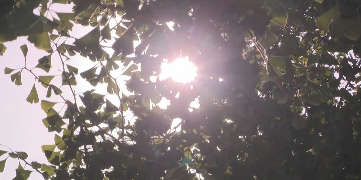
Highs soar into the upper 80s and low 90s Tuesday afternoon beneath mostly sunny to partly cloudy skies.
Mostly clear to partly cloudy skies stick around Tuesday night; look for lows in the upper 60s and low 70s.
The Summer heat really returns on Wednesday. Highs jump into the low to mid-90s.
A cold front arrives late Wednesday night and Thursday to help increase the cloud coverage and more importantly, the risk for showers and storms. While a few strong storms will be possible, the beneficial rainfall will be most needed out of this front. Temperatures will briefly cool as a result with highs mainly in the 80s.
Copyright 2026 WRDB+WAVE. All rights reserved.
A note on cookies
Newshunt uses essential cookies to keep you signed in and to remember your language and country, so the site works the way you expect. With your permission, we'd also like to use analytics cookies to understand how people use Newshunt and improve it over time.
Accepting only affects analytics. To learn more, view our Privacy Policy or Terms & Conditions.
(0)Comments